Maps of the Punjab
The Punjab as surveyors and travellers drew it.
Stone and the first cities
600,000 BP – 1900 BCE · 1 Terracotta from Indus valley, 2700-2000 BCE, size: 8X3cm Archaeological Survey of IndiaNational Museum, New Delhi · photo Saswatichaudhuri (Wikimedia Commons) · CC BY ↗
Gurus and Mughals
1469 – 1708 · 1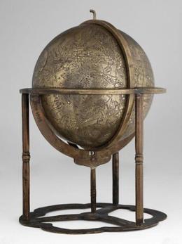 Celestial globe
The Kingdom of Lahore
1799 – 1849 · 8 City plan of Kangra, circa 1800 CE, Kangra School of Art, Indian Museum, KolkataIndian Museum, Kolkata · photo SpeakingArch (Wikimedia Commons) · CC BY-SA ↗
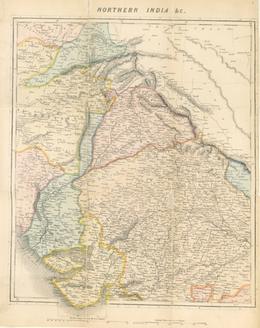
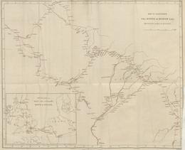 Map from "Travels in the Panjab, Afghanistan, & Turkistan, to Balk, Bokhara1846The British Library (via Europeana) ↗
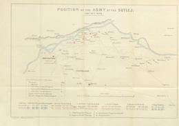 Map from "The War in India1846The British Library (via Europeana) ↗
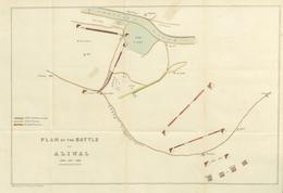 Map from "The War in India1846The British Library (via Europeana) ↗
 Map from "The War in India1846The British Library (via Europeana) ↗
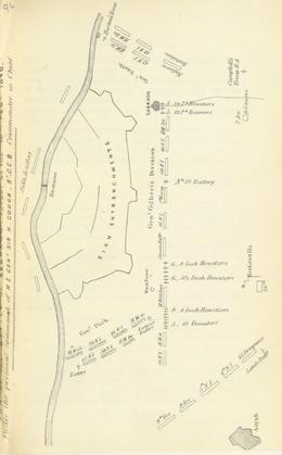 Map from "The War in India1846The British Library (via Europeana) ↗
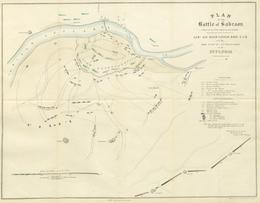 Map from "The War in India1846The British Library (via Europeana) ↗
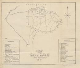 Map from "A History of the reigning family of Lahore1847The British Library (via Europeana) ↗
Colonial Punjab
1849 – 1947 · 11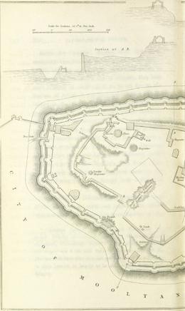 Map from "A year on the Punjab frontier, in 1848-49".1851The British Library (via Europeana) ↗
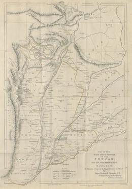 Map from "A year on the Punjab frontier, in 1848-49".1851The British Library (via Europeana) ↗
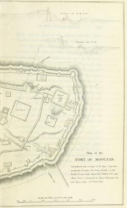 Map from "A year on the Punjab frontier, in 1848-49".1851The British Library (via Europeana) ↗
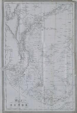 Map from "Sindh, and the Races that inhabit the Valley of the Indus; with notices of…1851The British Library (via Europeana) ↗
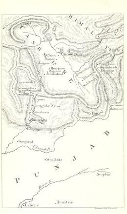 Map from "The Diary of a Hunter from the Punjab to the Karakorum Mountains".1863The British Library (via Europeana) ↗
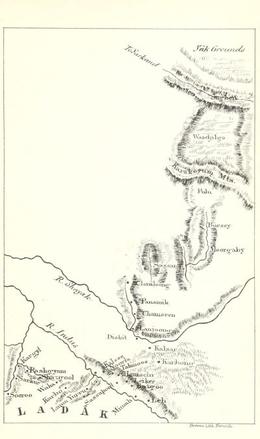 Map from "The Diary of a Hunter from the Punjab to the Karakorum Mountains".1863The British Library (via Europeana) ↗
 Published in the Annual Report of the Archaeological Survey of India 1872-73Wikimedia Commons · Alexander Cunningham 1814-1893 ↗
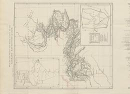 Map from "Lahore to Yārkand1873The British Library (via Europeana) ↗
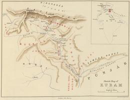 Map from "Lights & Shades of Hill Life in the Afghan and Hindu Highlands of the Punjab1895The British Library (via Europeana) ↗
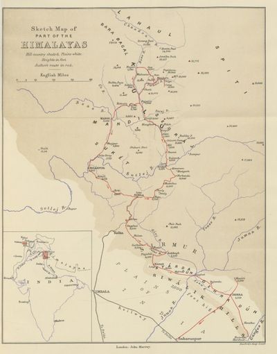 Map from "Lights & Shades of Hill Life in the Afghan and Hindu Highlands of the Punjab1895The British Library (via Europeana) ↗
 Map of Jammu and Kashmir (Princely State) by National Geographic in 1946Wikimedia Commons · National Geographic Society for the National Geographic Maga · CC BY ↗
Two Punjabs
1947 – today · 1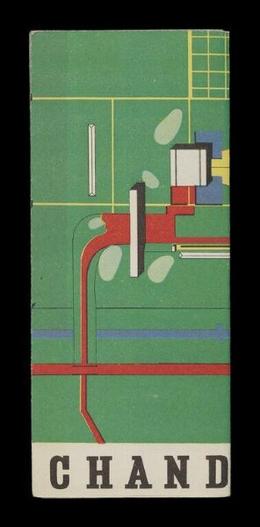 Map of Chandigarh
Through the ages
12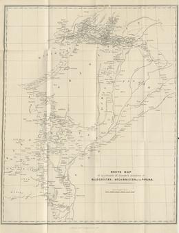 Map from "Narrative of various Journeys in Balochistan, AfghanistanThe British Library (via Europeana) ↗
 Plan Of Prahladpuri TempleWikimedia Commons · Anon. working for Unicon Consulting Services (Pvt.) Ltd. · CC BY-SA ↗
 Map of the Golden Temple complex, Central Sikh Museum, Amritsar, Punjab (newer mapCentral Sikh Museum, Amritsar · photo possibly Mehtab Singh 'Naqqash' (1871–1940) (Wikimedia Commons) ↗
 Map of the Golden Temple complex, Central Sikh Museum, Amritsar, Punjab (newer map, full)Central Sikh Museum, Amritsar · photo possibly Mehtab Singh 'Naqqash' (1871–1940) (Wikimedia Commons) ↗
 Map of the Golden Temple complex, Central Sikh Museum, Amritsar, Punjab (older mapCentral Sikh Museum, Amritsar · photo possibly Mehtab Singh 'Naqqash' (1871–1940) (Wikimedia Commons) ↗
 Map of the Golden Temple complex, Central Sikh Museum, Amritsar, Punjab (older map, full)Central Sikh Museum, Amritsar · photo possibly Mehtab Singh 'Naqqash' (1871–1940) (Wikimedia Commons) ↗
 Map of Sikh-ruled Kashmir, given by General Claude-Auguste Court to Victor JacquemontWikimedia Commons ↗
 City plan of Kangra - Indian Museum, Kolkata R.404 S.624Indian Museum, Kolkata · photo Wikimedia Commons (Wikimedia Commons) ↗
 City plan of KangraIndian Museum, Kolkata · photo Sneharshidasgupta (Wikimedia Commons) · CC BY-SA ↗
 Taxila Ruins MapTaxila Museum · photo Khalid Mahmood (Wikimedia Commons) · CC BY-SA ↗
 Map of the Golden Temple complex, Central Sikh Museum, Amritsar, Punjab (newer mapCentral Sikh Museum, Amritsar · photo possibly Mehtab Singh 'Naqqash' (1871–1940) (Wikimedia Commons) ↗
 Map of the Golden Temple complex, Central Sikh Museum, Amritsar, Punjab (newer mapCentral Sikh Museum, Amritsar · photo possibly Mehtab Singh 'Naqqash' (1871–1940) (Wikimedia Commons) ↗
Search the museums' full collections
V&A ↗ · British Museum ↗ · The Met ↗ · Cleveland ↗ · Wellcome Collection ↗ · Wikimedia Commons ↗ · Ashmolean ↗ · Royal Collection ↗ · Pitt Rivers ↗
Shown here are the objects whose pictures museums have released openly. Far more are in their collections, and in museums with no open search, such as the Lahore Museum. Searching for "Punjab map".
Pictures from the collections of Art Institute of Chicago, Ashmolean Museum, Oxford, Asian Art Museum, San Francisco, Berlin-Dahlem Botanical Garden and Botanical Museum (via Europeana), Bhuri Singh Museum, Chamba, 65 more, found automatically: public domain or openly licensed, except the V&A's, shown for non-commercial use with the museum's credit. Titles and dates are the museums' own; each card names its museum and any licence. Updated 2026-10-26.